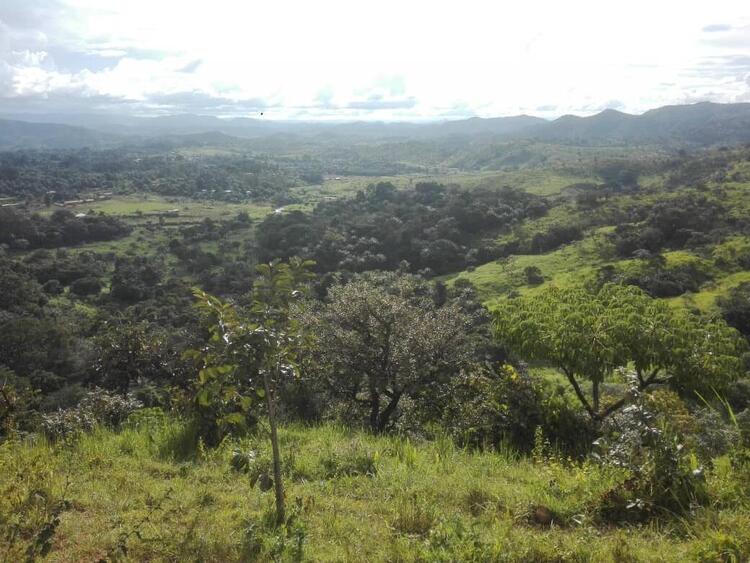
Here, you will first see the general satelite map of Misaje sub division where the Besaah people are found. Immediately below, you will have satelite maps of the the villages where Sari language and the Sari people lives.
Location
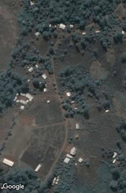
Satelite map of Bakinchine
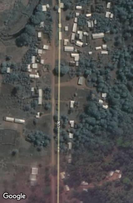
Satelite map of Kamine
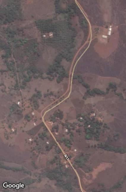
Satelite map of kidung
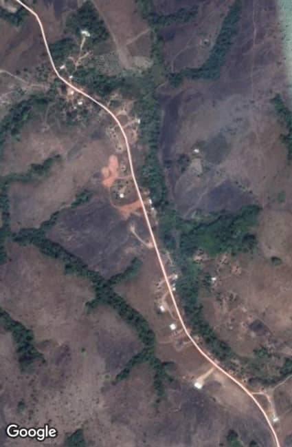
Satelite map of Bridge 5

